Latitude 32.30S. Longitude 114.54E. Course N52E. wind SW by W force 6 becoming south westerly force 5. Under sail. Maximum temperature 62F.
0235. Lowered Top gallant sails to a squall from WSW to WNW. Strong SW wind. Squally weather and showery.
Noon Course NE by E.
1600. Observed land NE by E.
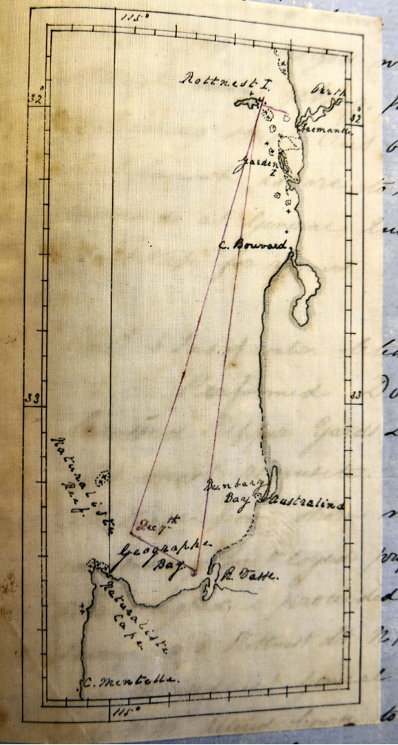
1630 light House Rottnest Island ENE.
1800. Duck Rock S82E. pilot met us halfway but did not take him onboard .
1950. Came to in Gage Road in 5 ½ fathoms with sandy bottom and veered to 6 shackles. Anchorage bearings. Arthurs Head Light House S30E. Menstan (?) Rock S69W.
Remarks
We have made a tolerable quick passage having 40 days including 5 at anchor of St Pauls and if it had not been for us calling there we should most probably have done it in 30 days as the wind were stronger to the south in latitude 40 and 39. For in general in edging up for St Pauls the wind fell lighter. On leaving the Cape we had easterly winds with overcast cloudy squally weather until the 5th day from port when we fell in with the westerly winds in latitude 41S. Longitude 25.41 E with a long heavy swell. On leaving St Pauls we has north easterly breezes for 3 or 4 days and stood south to latitude 39.20S. Longitude 87.24E where the wind came from SE and southward gradually hauling round to the westward by which we reached Fremantle, the wind shifting to the south westward within 100 nautical miles from the land where we met with a heavy swell. Then we experienced the whole breeze. Currents have very irregular with the exception of 3 days easterly set after leaving St Pauls of about 12 miles a day.